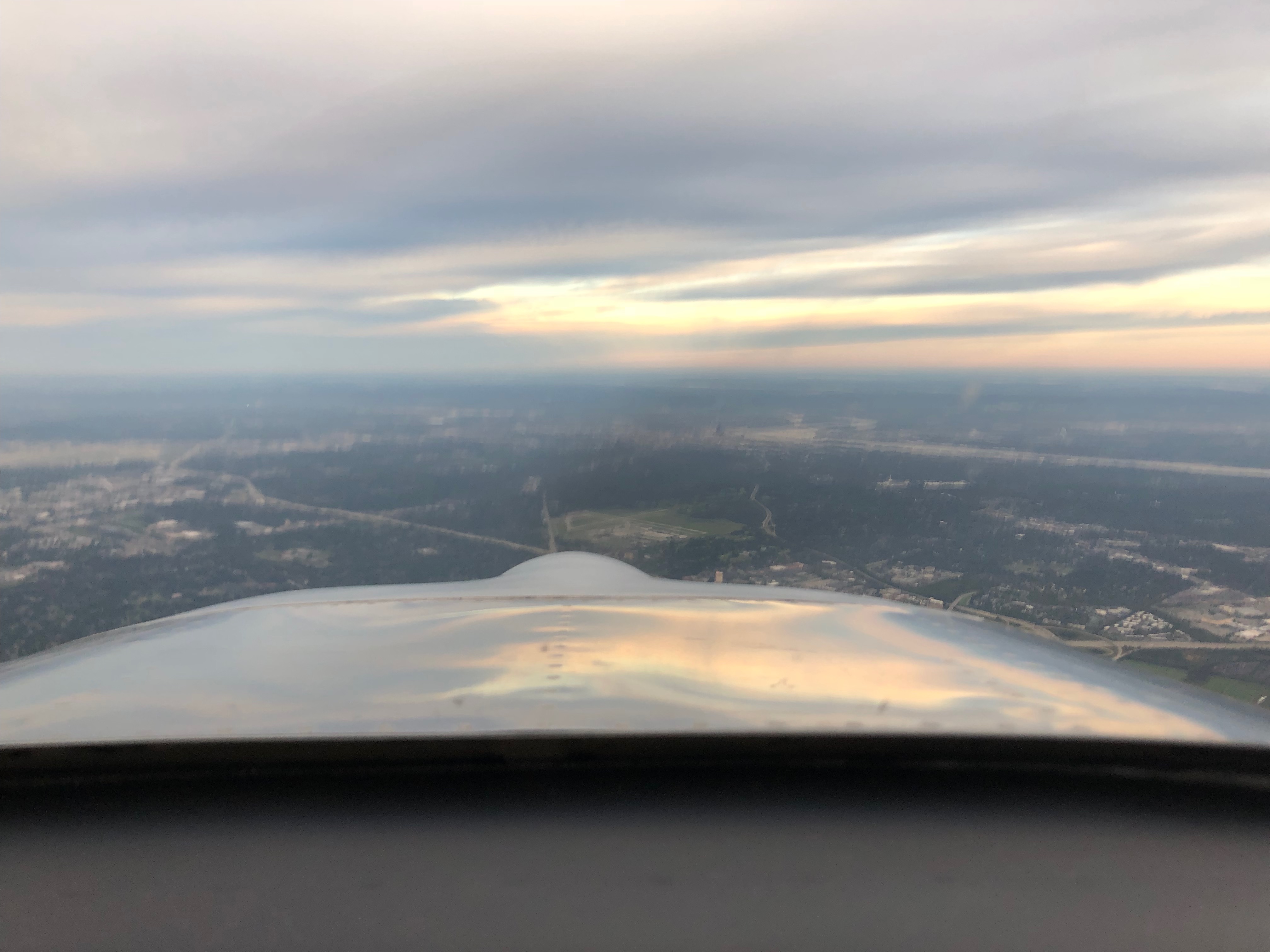
It’s hard to believe it’s been 30 years since I graduated from High School. I went back for my 25th reunion, but that couldn’t possibly have been 5 years ago, right?!?! Weather is always a factor in October, so I have been watching it like a hawk for the past couple of weeks. Surprisingly, it looked like I was going to get a break and have a nice clear area between two storm fronts moving eastbound. I took off in sunny skies on Oct. 9th for my first stop in Gallup, NM. I’m visiting family in Tulsa, OK, but the storm will prevent me from getting there on the first day.

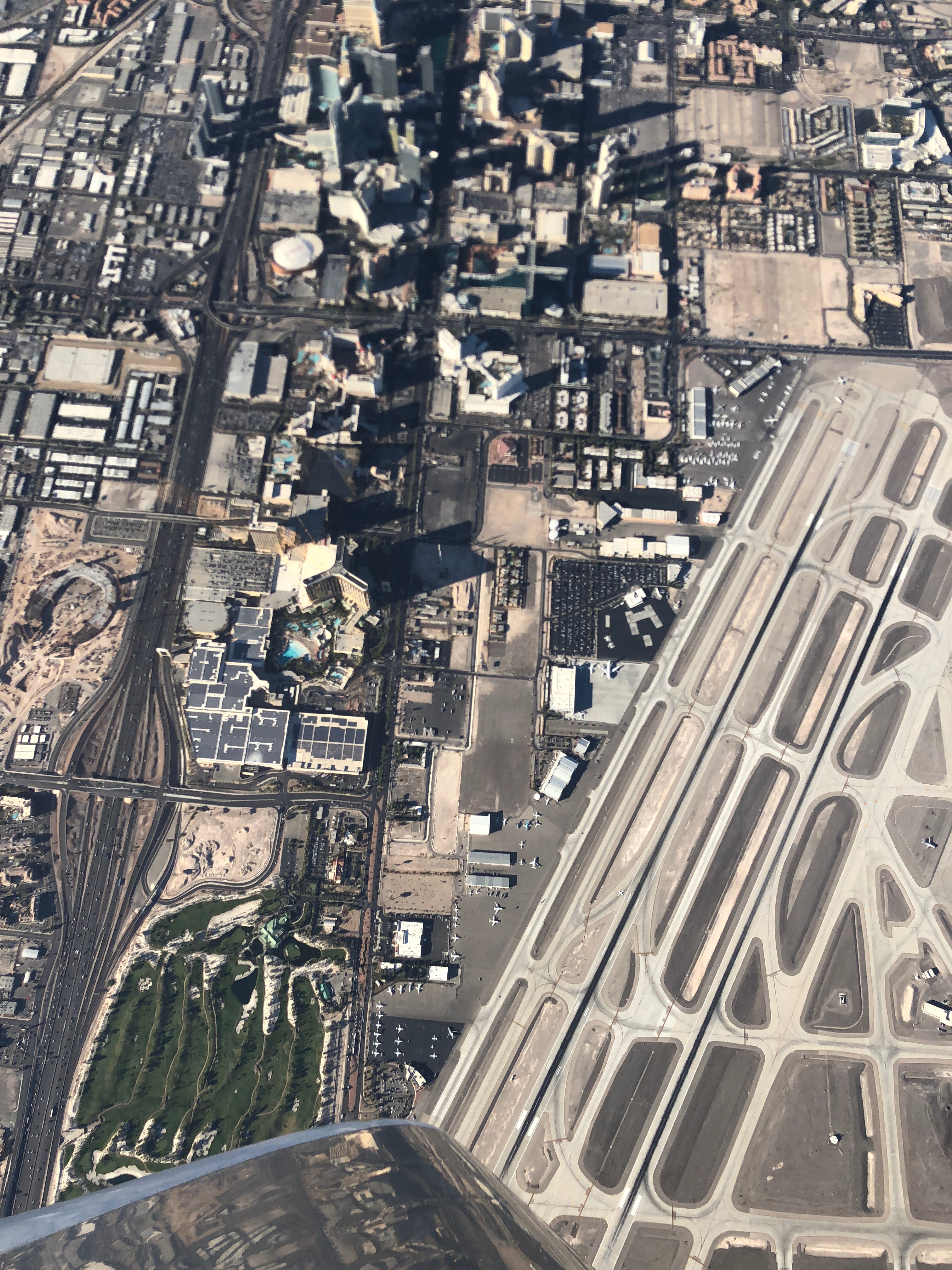
There was weather over the Sierras, so I ran around the south end which took me right over the center of Las Vegas, NV. I was above the Bravo airspace, so I banked over and got a nice shot of McCarran airport and the strip.
It also took me right over the Grand Canyon. In all of my years of flying, I have never flown over the Grand Canyon. I’ve caught a glimpse of it from the window of a commercial aircraft, but it’s hard to appreciate the scale of this place from 35,000+ feet. When driving, you can only see a tiny fraction of the canyon from the rim, so you can’t really tell how long it is.
There are parts of the canyon that are 15+ miles wide and it’s well over 100 miles from end to end. It took me over a half hour to fly from one end to the other, and I enjoyed spectacular views like this the whole time. It was about an hour before sunset, and this photo simply doesn’t do justice to the brilliant colors and panoramic view.

The storms moving eastbound gave me a nice 25-40kt tailwind for the entire flight from CA to KY. The weather was nearly perfect with the exception of a high overcast in Tulsa, OK which required an instrument clearance to descend through. There were also scattered showers when I left Tulsa, but they were easy to dodge and I barely got wet.
After an enjoyable visit with family and friends in both Tulsa, OK and Lexington, KY, it was time to head for home. I had planned to run up to Minneapolis, MN to visit a buddy, but a low overcast with ice blocked me. I’ll have to do that next year on the way to or from Oshkosh.
The next day was much better with a much higher overcast. There was still icing forecast in the clouds, so that kept me down around 3’000 AGL for the first few hundred miles, but I wanted to stay low anyway since the headwinds up high were 45+kts. Since I was headed all the way back without overnighting anywhere, I got a fairly early start since I knew it would be a long day.
One odd thing I noticed before the flight was the ELT light was flashing, and it wasn’t flashing when I landed several days prior. Hitting the reset button didn’t do anything, nor did killing power to the ELT, so I decided to deal with it when I got home.
Somewhere over Louisville, KY, I get a frantic text from my wife. She was woken up by a call from the US Air Force saying they had an emergency signal from my aircraft. I was able to relay messages through her back to the Air Force about what was going on. They said it was fine to continue to my first fuel stop, but not to continue without resolving the problem. Unfortunately, that will require removing the baggage bulkhead to gain access to the ELT so that I can shut it off. Since it was running on its own battery (since I had removed power from it), there was a chance it was going to run out of juice before then anyway, so I pressed on. Not too surprisingly, the battery did die a couple of hours later. What was surprising though was that the ELT powered up on the next leg and behaved normally.
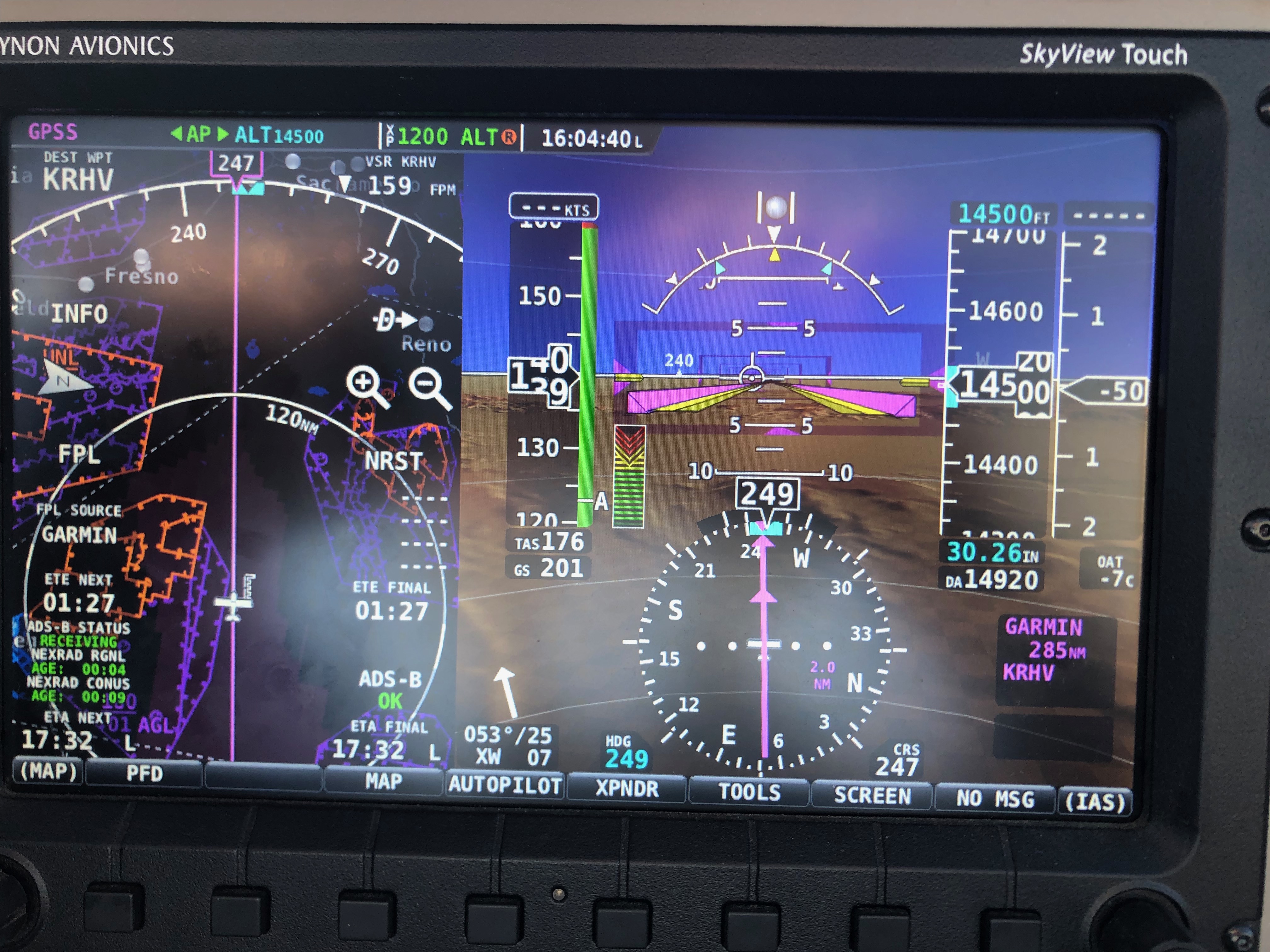
Storms kept me north of my normal route through OK, NM, and AZ. Staying low until CO limited my headwinds to under 10kts, but I had to climb to 14,500′ to clear the Rockies. Fortunately, a high-pressure system over the southwest created westward flow along the second half of the flight, so I enjoyed 20+kt tailwinds for the remainder of the flight.

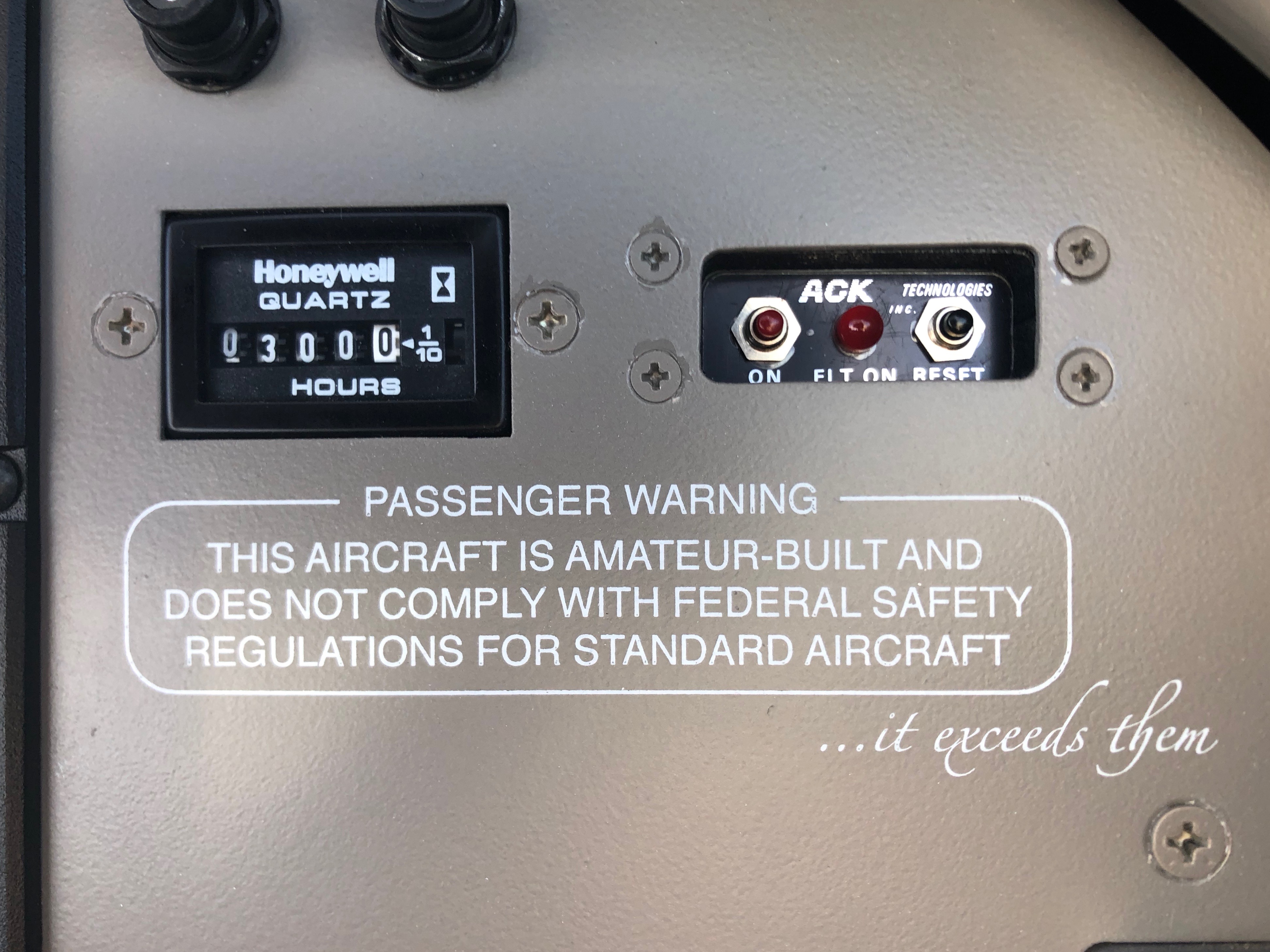
I crossed 300 hours on the plane during the final leg from Grand Junction, CO to San Jose, CA!
Crossing NV at 14,500′, the tailwind climed to 25kts in smooth air.
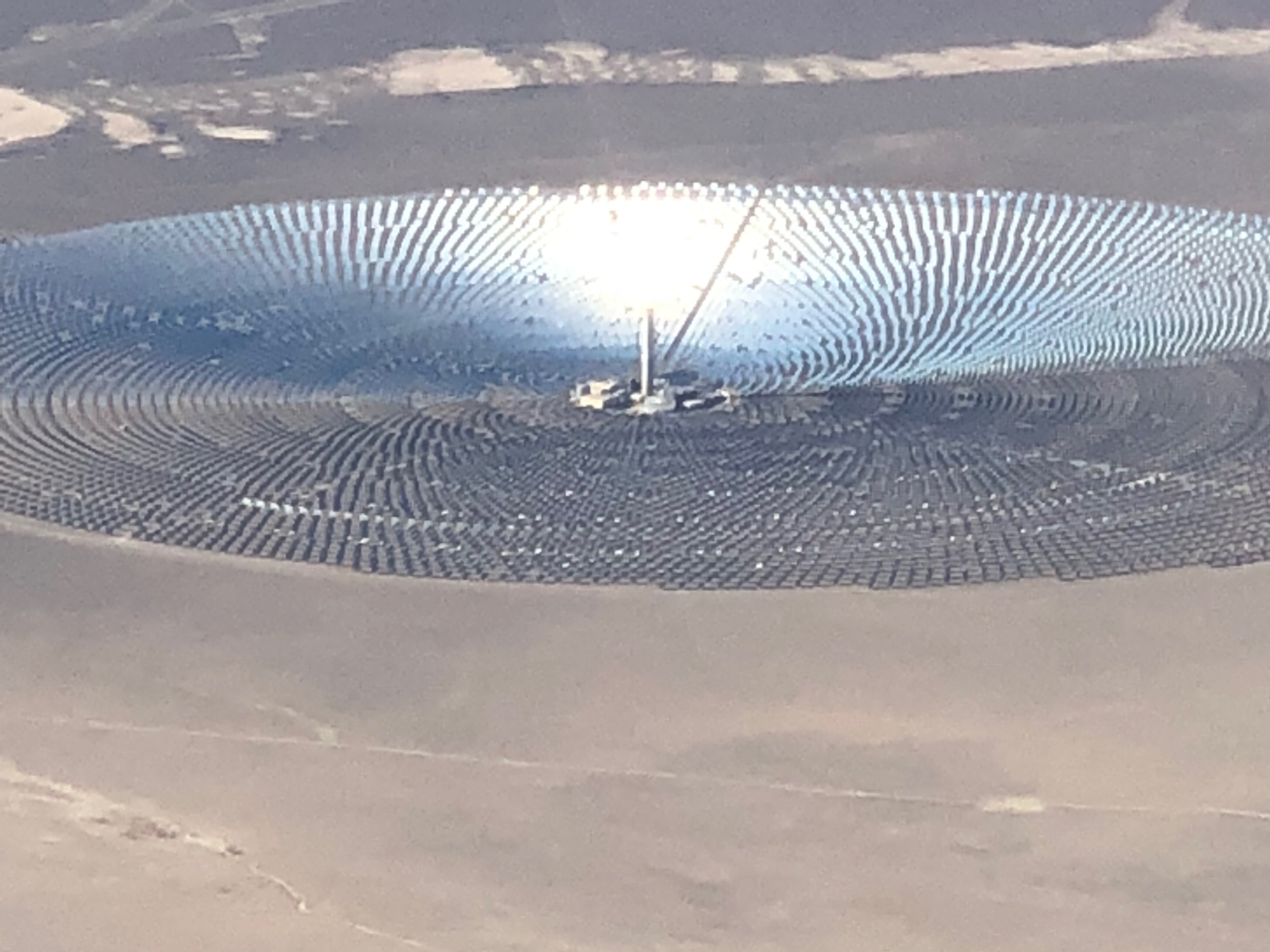
I flew near the Crescent Dunes solar energy farm near Tonopah, NV.
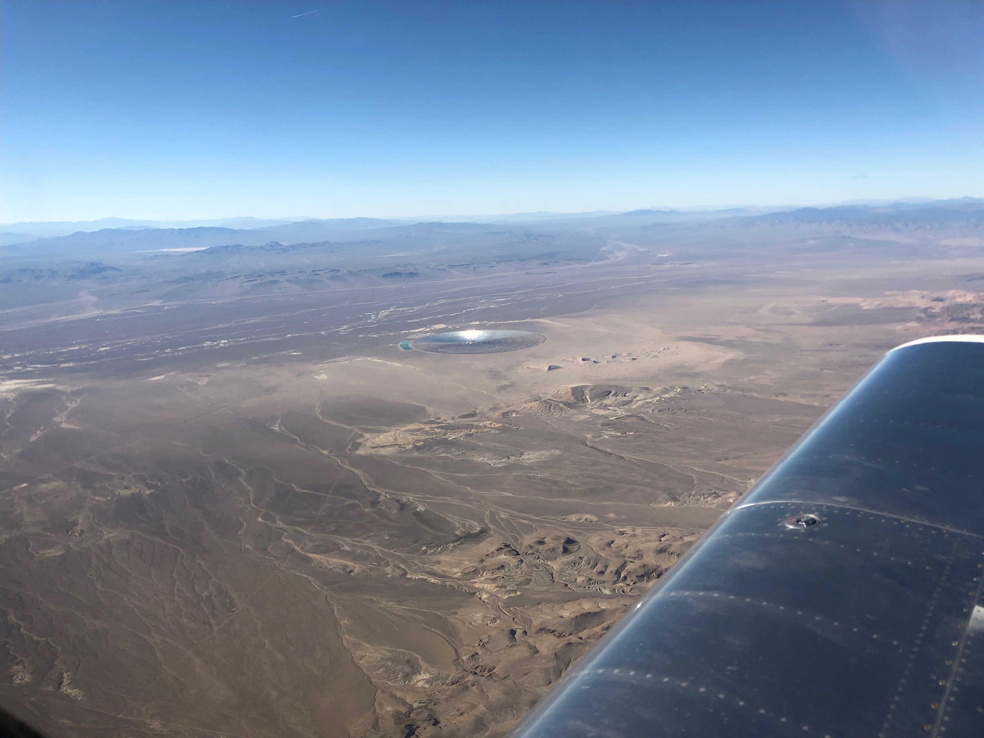
To give you a sense of scale, that central tower is 640′ tall and the entire circle is nearly 2 mi in diameter. Each one of those little mirrors is 30’x42′ and turns to keep the sun focused on the top of the tower.
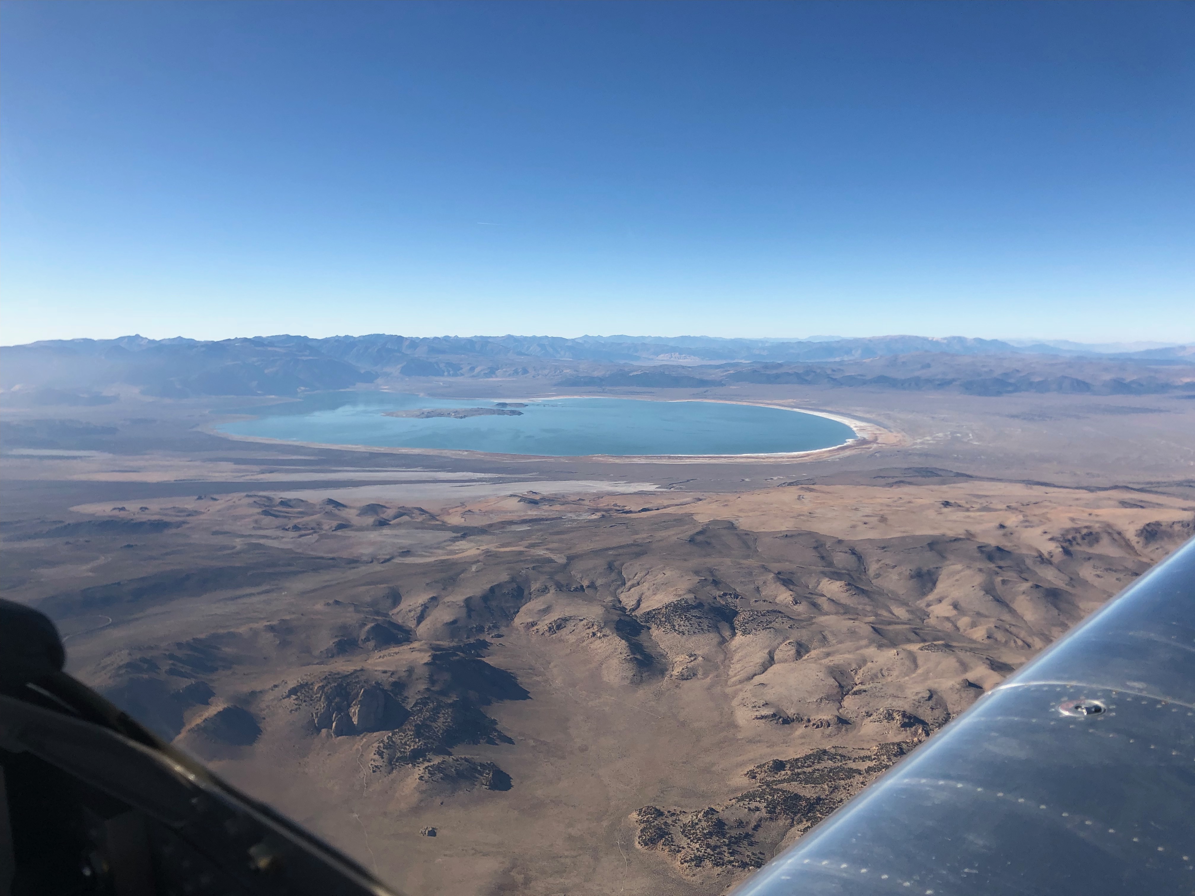
I crossed the Sierras just south of Mono Lake. There’s a little airport next to the lake, but I’ve never made a trip up here. It’s a pretty quick flight from home, so I should make a point of doing that some time.
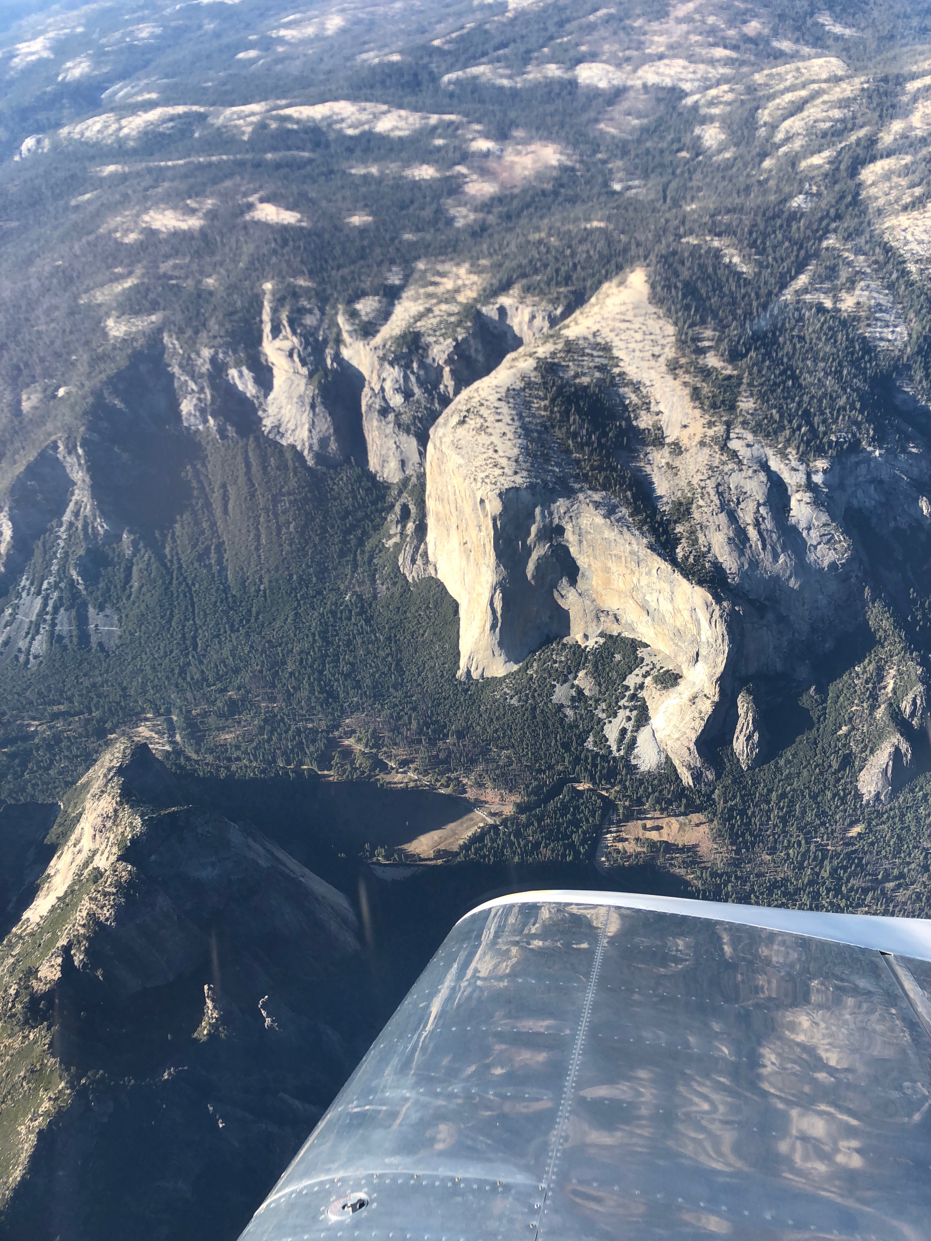
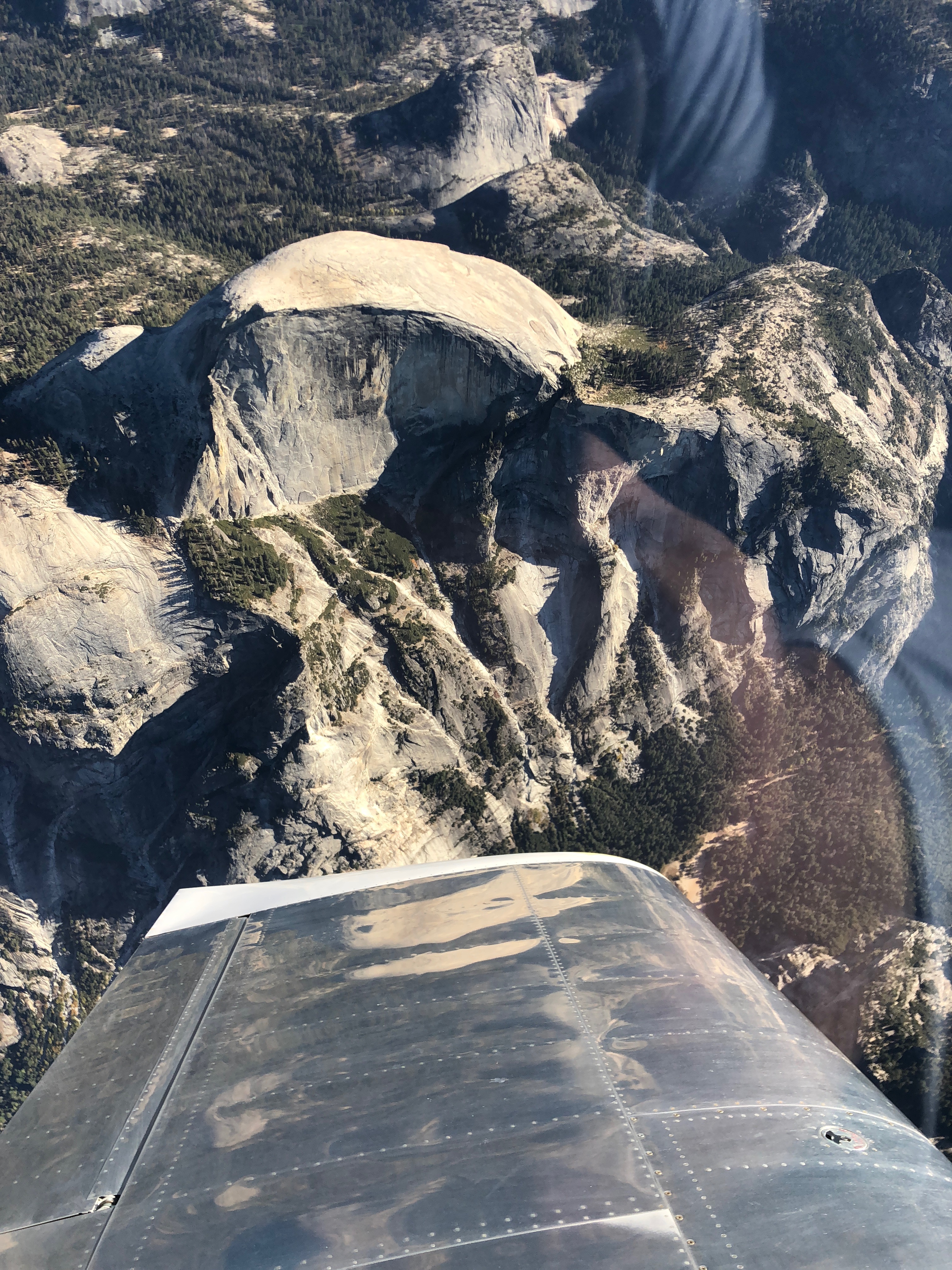
My flight also took me right over Yosemite, so I grabbed a quick shot of Half Dome…
…and El Capitan. After this, I started a shallow descent all the way back to the bay area. That let me leave the power in for the descent. That plus the tailwind kept me well over 200kts across the ground for most of the descent.